
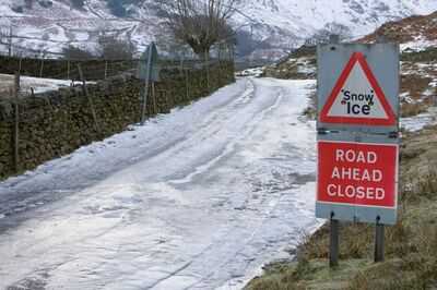
TheUK is set for snow as a bitter chill makes it way across the country later this month.
October kicked off with damage and destruction as Storm Amy tore through the country, and now more turbulent weather is thought to be on the way.
Weather maps from WXChartsshow some parts of the UK blanketed with the white stuffbefore October is out. Four areas are expecting snowfall from October 18 and 19, GFS advanced modelling systems show.
Perth and Inverness in Scotland are expected to be dusted with snow first before the chilly weather front moves further north and west, hitting Ross and Cromarty.
READ MORE: Weather maps show 0C freeze set to grip Brits as Arctic blast grips UK
READ MORE: Britain to bask in 21C 'proper Indian Summer' as weather maps turn glorious orange
This means the counties at risk are currently Perthshire, Invernessshire, Ross County and Cromartyshire. The projections have been made via WX Charts, with the maps mirrored by fellow weather forecasters at Ventusky.
An October 18 to November 1 outlook from the Met Office says: "The latter half of October will see a transition to more widely unsettled conditions, though the timing of this remains unclear.
"Whether this takes the form of successive depressions moving in from the Atlantic or a rather slower evolving weather pattern remains to be seen, but there is a greater chance of more places seeing more frequent spells of rain or showers and possibly strong winds later in the month. Temperatures probably close to average overall."
Strong winds will continue to ease on Sunday. Southern and eastern areas will see some sunshine, especially at first, though scattered showers developing, especially in the west. Increasingly cloudy elsewhere with some showery rain arriving in the northwest later.
TonightWinds continuing to ease overnight, especially in the south. Outbreaks of rain in the north, but drier elsewhere with some clear spells. A milder night for many.
MondayWet and rather windy in the northwest on Monday. Mostly dry elsewhere with lighter winds and some sunny spells. An isolated shower possible in the west. A little milder.
Tuesday to ThursdayRain in the northwest on Tuesday, edging southeast and easing through Wednesday. Then mostly dry with some sunny spells as high pressure builds, bringing more settled conditions. Temperatures near average.
You may also like

EastEnders 'reveals' Joel's next victim after horrific Vicki attack – and it's not Avani
Large maple that 'gives gardens all year-round colour' gets slashed by £70 in autumn sale
Kaleb Cooper lands his own Prime Video show as Clarkson's Farm future confirmed
Netflix getting ready to bid for Champions League games in massive £4.3bn development
Celebrity Traitors LIVE: How to watch, what time does show start and who is taking part?


